


Need product support?
CYME users portal: my.cyme.com
P: 450-461-3655 or 800-361-3627 (Canada and US)
Questions before you buy

 MyEatonFAQs
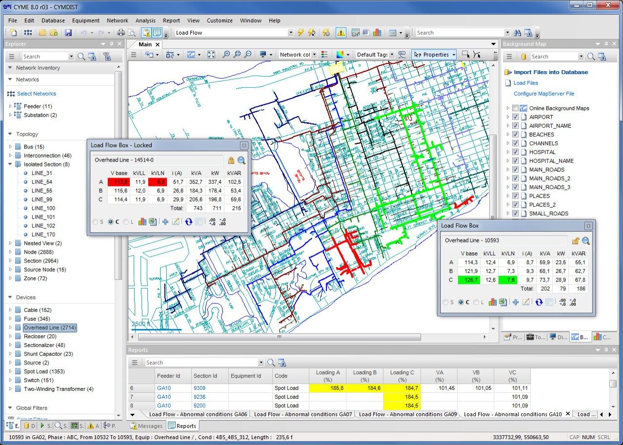
Eaton's CYME Geographic Overlay allows the engineer to view geographic information useful to the utility as multiple layers underneath the representation of the distribution network. This includes network connection information, assets, resources, etc., as well as land registers, rights of ways, hydrography, topography, land cover, land use, population density, etc.
The module allows the import and display of several maps of different formats (raster or vector) along with the capability to enable for viewing and disabling any layer or theme. They can be placed in any order, with the CYME distribution system model on top.
The module allows the automatic display of the geographic background whenever the network model is loaded or a study opened.
The module can be used in conjunction with the CYME Online Maps Service to display offline and online maps simultaneously; allowing the user to locate equipment and devices on the one-line diagram using street addresses, X/Y coordinates or GPS coordinates.
The functionality of both components is accessed through a comprehensive background map control tab in the CYME software.
The module imports map files as data layers. The formats supported are:
Eaton's CYME Geographic Overlay allows the engineer to view geographic information useful to the utility as multiple layers underneath the representation of the distribution network.
Need product support?
CYME users portal: my.cyme.com
P: 450-461-3655 or 800-361-3627 (Canada and US)
Questions before you buy